
Region · 9.2 M people
Kanagawa Prefecture
Prefecture of Japan.
Near Kanagawa Prefecture
Map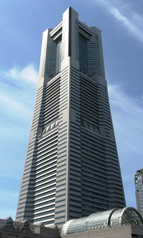

Weather by season
- Dec–Feb11° / 4°175 mm
- Mar–May19° / 11°391 mm
- Jun–Aug29° / 23°479 mm
- Sep–Nov22° / 16°554 mm
Average high / low (°C) and rain per season. Data for Tokyo, 27 km away. Highlighted: the best months to go. Tokyo station, 1991–2020 climate normals · Meteostat. Raw data: NOAA, Deutscher Wetterdienst and others. (CC BY 4.0).
About Kanagawa Prefecture
Kanagawa Prefecture is a prefecture of Japan located in the Kantō region of Honshu. Kanagawa Prefecture is the second-most populous prefecture of Japan at 9,221,129 (1 April 2022) and third-densest at 3,800 inhabitants per square kilometre (9,800/sq mi). Its geographic area of 2,415 km2 (932 sq mi) makes it fifth-smallest.
From Wikipedia · CC BY-SA 4.0
Full Kanagawa Prefecture travel guide
Getting around, food, where to stay
Photo credits (8)
- Yokohama Landmark Tower: Yokohama_Landmark_Tower_02.JPG : Σ64 derivative work: 0607crp ( talk ) · CC BY-SA 3.0 · Commons
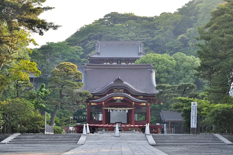
- Tsurugaoka Hachimangū: Ocdp · CC0 · Commons
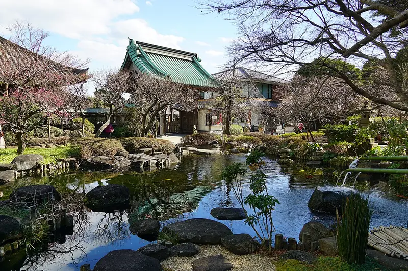
- Kamakura: 663highland · CC BY-SA 4.0 · Commons
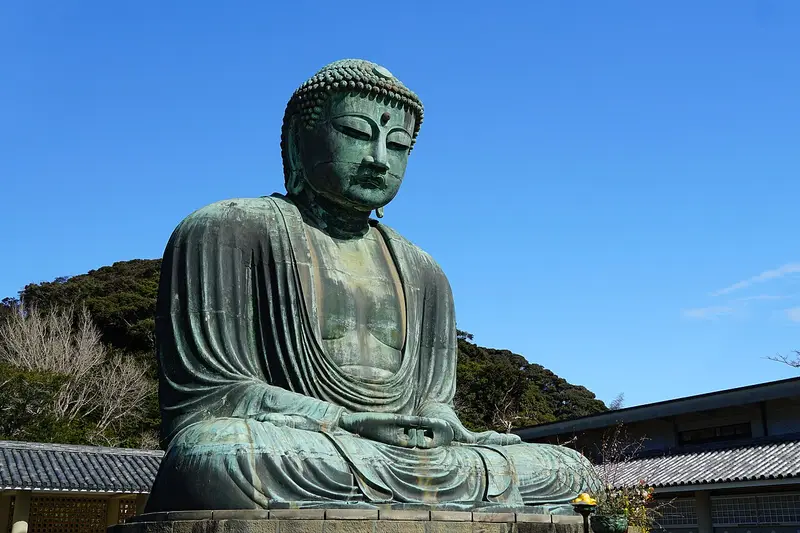
- Kōtoku-in: 663highland · CC BY-SA 4.0 · Commons
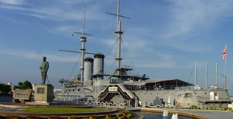
- Battleship Mikasa: Nesnad · CC BY-SA 3.0 · Commons
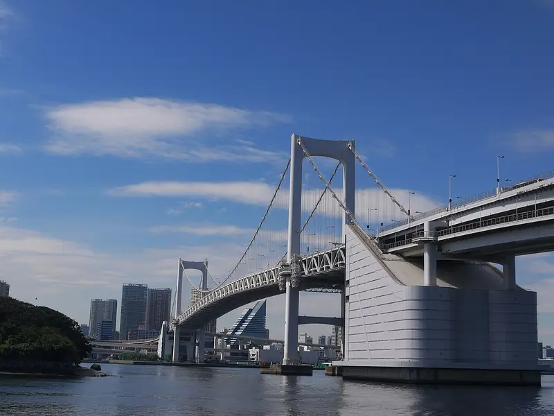
- Rainbow Bridge: yuukin · CC BY 3.0 · Commons
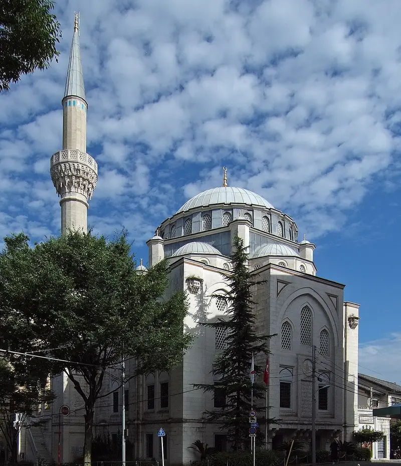
- Tokyo Mosque: Wiiii · CC BY-SA 3.0 · Commons
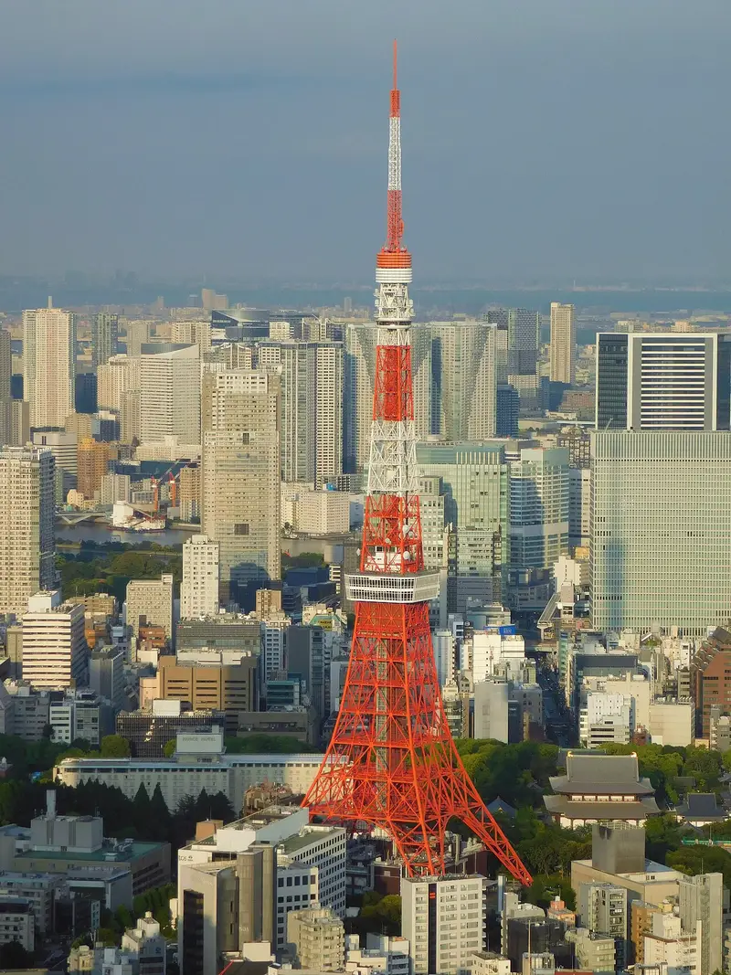
- Tokyo Tower: Akonnchiroll · CC BY-SA 4.0 · Commons


_-_panoramio.jpg)

