
Region · 1.3 M people
Nara Prefecture
Prefecture of Japan.
Near Nara Prefecture
Map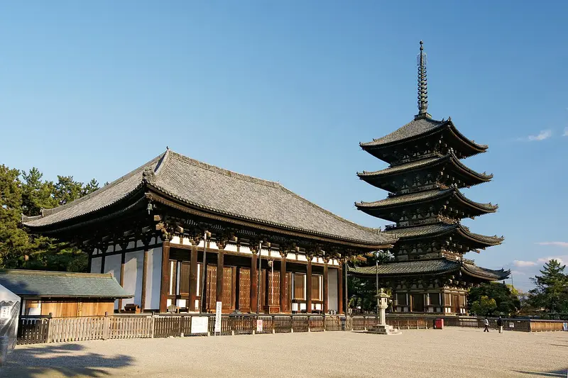

Weather by season
- Dec–Feb11° / 4°164 mm
- Mar–May20° / 11°342 mm
- Jun–Aug31° / 24°474 mm
- Sep–Nov24° / 16°359 mm
Average high / low (°C) and rain per season. Data for Osaka, 30 km away. Highlighted: the best months to go. Osaka station, 1991–2020 climate normals · Meteostat. Raw data: NOAA, Deutscher Wetterdienst and others. (CC BY 4.0).
About Nara Prefecture
Nara Prefecture is an inland prefecture of Japan located in the Kansai region of Honshu. As of 2020, Nara Prefecture has a population of 1,321,805 and has a geographic area of 3,691 square kilometres (1,425 sq mi). Nara Prefecture borders Kyoto Prefecture to the north, Osaka Prefecture to the northwest, Wakayama Prefecture to the southwest, and Mie Prefecture to the east.
From Wikipedia · CC BY-SA 4.0
Full Nara Prefecture travel guide
Getting around, food, where to stay
Photo credits (8)
- Kōfuku-ji: 663highland · CC BY-SA 4.0 · Commons
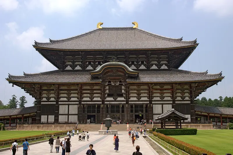
- Tōdai-ji: 663highland · CC BY 2.5 · Commons
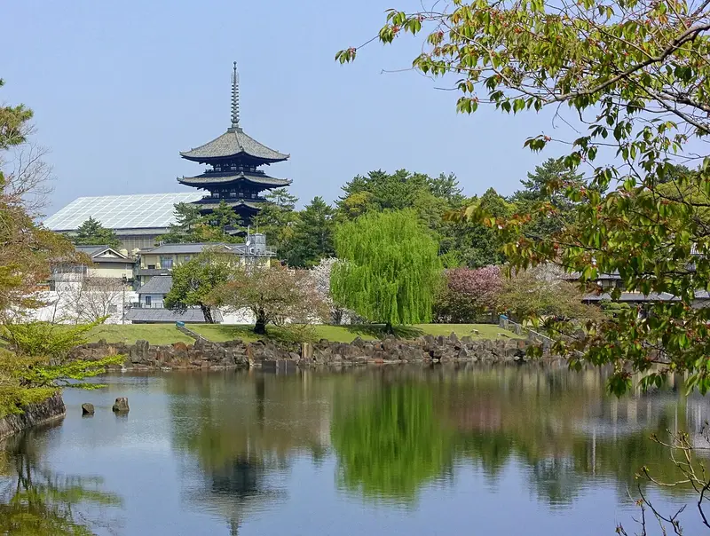
- Nara Park: Daderot · CC0 · Commons
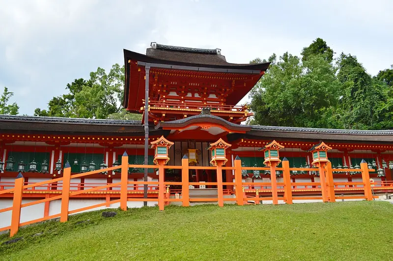
- Kasuga-taisha: Saigen Jiro · CC0 · Commons
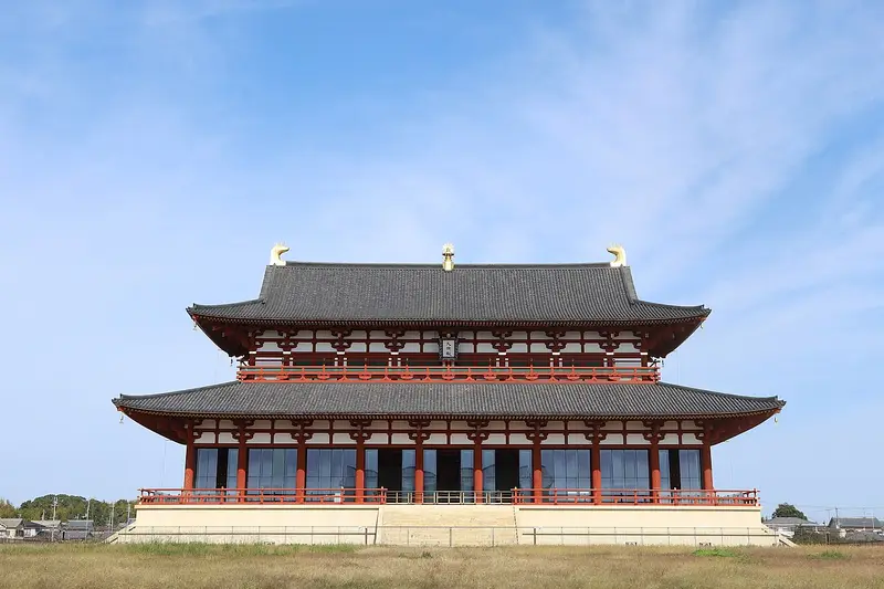
- Heijō Palace: Tsuyoshi chiba · CC BY-SA 4.0 · Commons
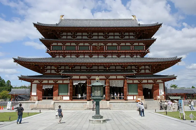
- Yakushi-ji: 663highland · CC BY 2.5 · Commons
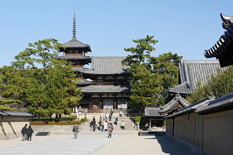
- Hōryū-ji: 663highland · CC BY 2.5 · Commons
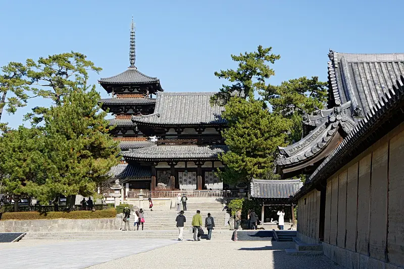
- Buddhist Monuments in the Hōryū-ji Area: 663highland · CC BY 2.5 · Commons


