
Saitama Prefecture
Prefecture of Japan.
Near Saitama Prefecture
Map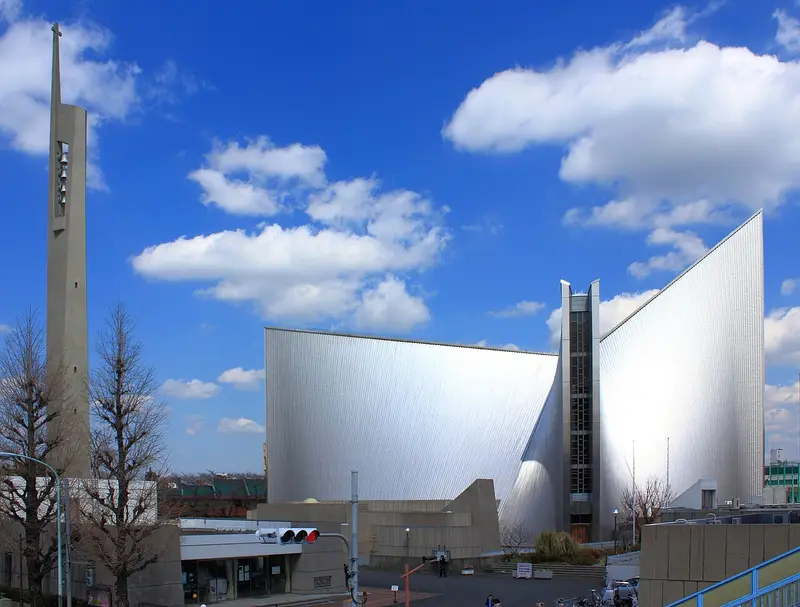
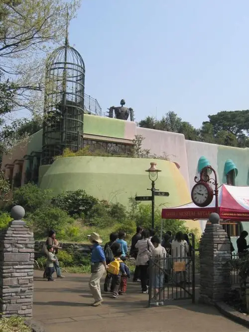
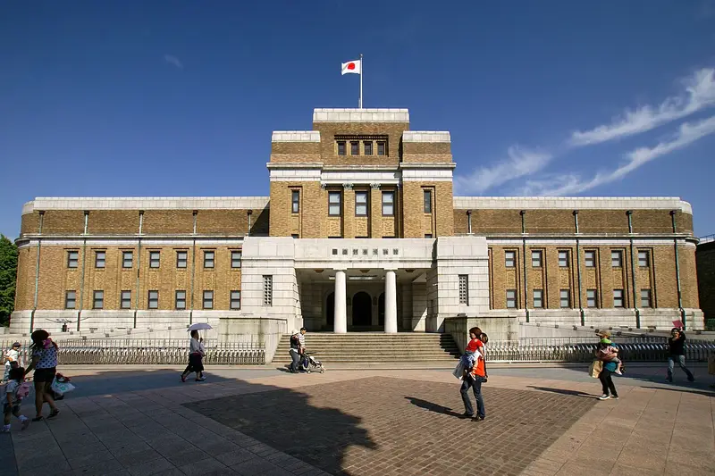
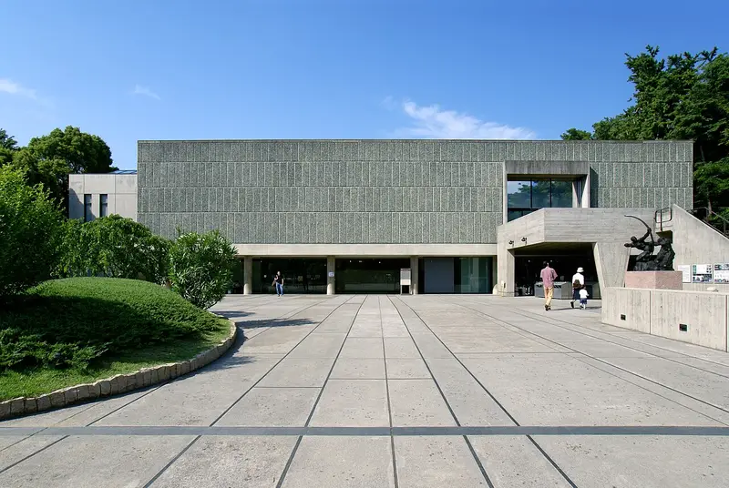
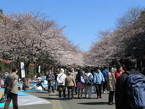
_banner.jpg)
Weather by season
- Dec–Feb11° / 4°175 mm
- Mar–May19° / 11°391 mm
- Jun–Aug29° / 23°479 mm
- Sep–Nov22° / 16°554 mm
Average high / low (°C) and rain per season. Data for Tokyo, 19 km away. Highlighted: the best months to go. Tokyo station, 1991–2020 climate normals · Meteostat. Raw data: NOAA, Deutscher Wetterdienst and others. (CC BY 4.0).
About Saitama Prefecture
Saitama Prefecture is an inland prefecture of Japan located in the Kantō region of Honshu. Saitama Prefecture has a population of 7,338,536 (January 1, 2020) and has a geographic area of 3,797 km2 (1,466 sq mi). Saitama Prefecture borders Tochigi Prefecture and Gunma Prefecture to the north, Nagano Prefecture to the west, Yamanashi Prefecture to the southwest, Tokyo to the south, Chiba Prefecture to the southeast, and Ibaraki Prefecture to the northeast.
From Wikipedia · CC BY-SA 4.0
Full Saitama Prefecture travel guide
Getting around, food, where to stay
Photo credits (8)
- St. Mary's Cathedral: Kakidai · CC BY-SA 3.0 · Commons
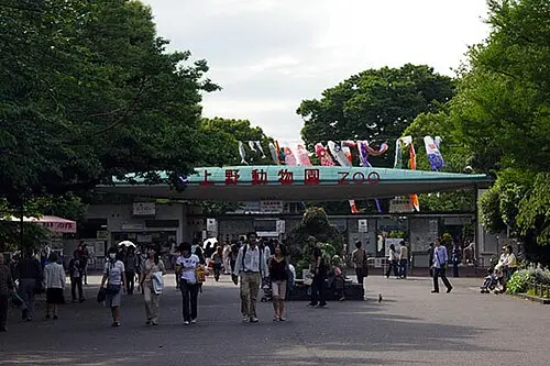
- Ueno Zoo: Los688 · Public domain · Commons
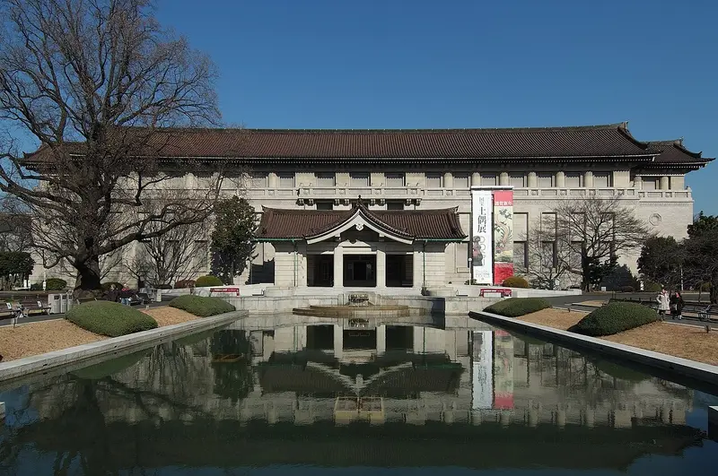
- Tokyo National Museum: Wiiii · CC BY-SA 3.0 · Commons
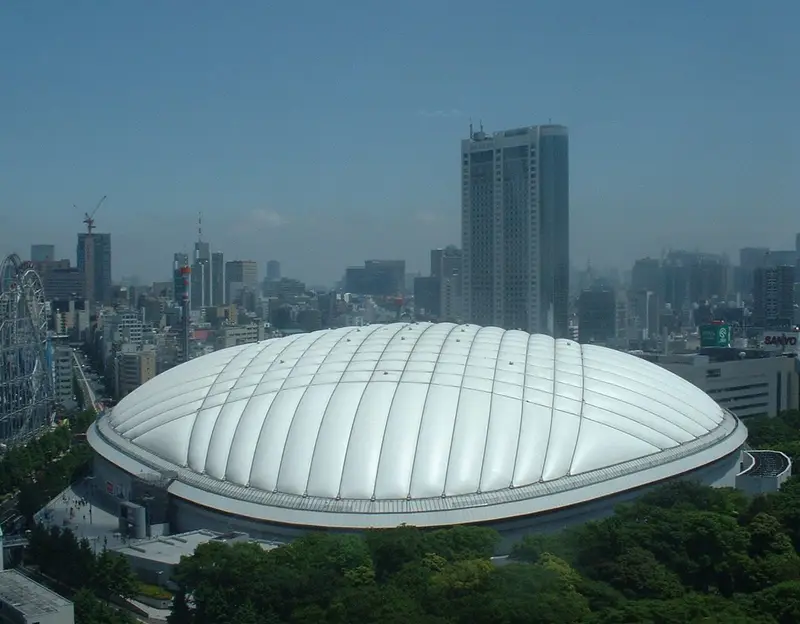
- Tokyo Dome: Carpkazu at Japanese Wikipedia · CC BY-SA 3.0 · Commons
- Ghibli Museum: unknown author · CC BY-SA 3.0 · Commons
- National Museum of Nature and Science: 663highland · CC BY 2.5 · Commons
- National Museum of Western Art: 663highland · CC BY-SA 4.0 · Commons
- Ueno Park: The original uploader was Sdalu at English Wikipedia . · CC BY-SA 3.0 · Commons


