
Region · 1.3 M people
Tlaxcala
State of Mexico.
Near Tlaxcala
Map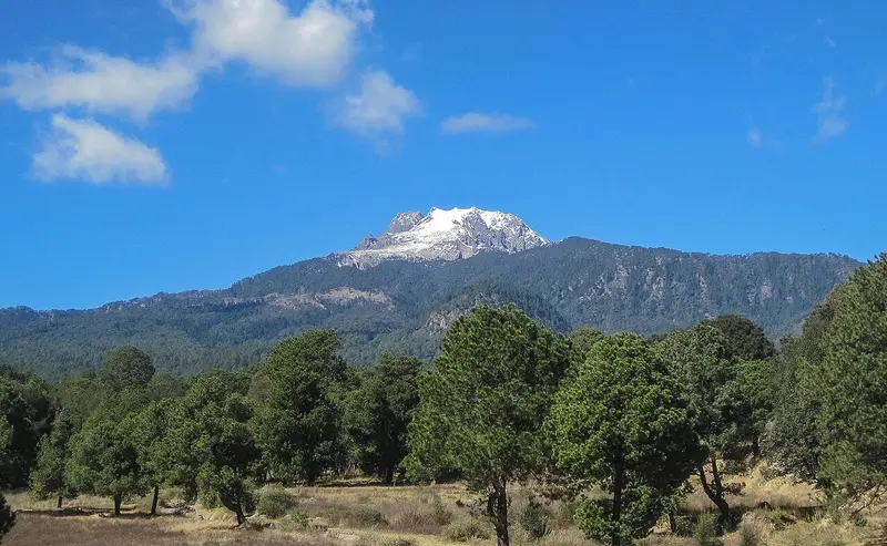

Weather by season
- Dec–Feb23° / 9°20 mm(a good time to go)
- Mar–May27° / 13°100 mm(a good time to go)
- Jun–Aug25° / 13°489 mm
- Sep–Nov23° / 12°234 mm(a good time to go)
Average high / low (°C) and rain per season. Data for Mexico City, 109 km away. Highlighted: the best months to go. Mexico Central, D. F. station, 1991–2020 climate normals · Meteostat. Raw data: NOAA, Deutscher Wetterdienst and others. (CC BY 4.0).
About Tlaxcala
Tlaxcala, officially the Free and Sovereign State of Tlaxcala, is one of the 32 federal entities that comprise the Federal Entities of Mexico. It is divided into 60 municipalities and the capital city and the largest city is Tlaxcala de Xicohténcatl. It is located in east-central Mexico, in the altiplano region, with the eastern portion dominated by the Sierra Madre Oriental.
From Wikipedia · CC BY-SA 4.0
Full Tlaxcala travel guide
Getting around, food, where to stay
Photo credits (2)
- Malinche: Luis Beltran · CC BY-SA 4.0 · Commons
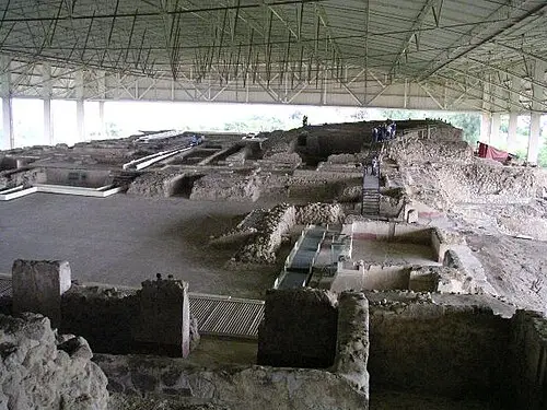
- Cacaxtla: unknown author · CC BY-SA 3.0 · Commons
.jpg)
