
Xochimilco
Territorial demarcation of Mexico City.
Near Xochimilco
Map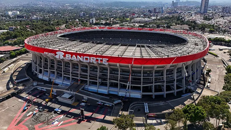


Weather by season
- Dec–Feb23° / 9°20 mm(a good time to go)
- Mar–May27° / 13°100 mm(a good time to go)
- Jun–Aug25° / 13°489 mm
- Sep–Nov23° / 12°234 mm(a good time to go)
Average high / low (°C) and rain per season. Data for Mexico City, 12 km away. Highlighted: the best months to go. Mexico Central, D. F. station, 1991–2020 climate normals · Meteostat. Raw data: NOAA, Deutscher Wetterdienst and others. (CC BY 4.0).
About Xochimilco
Xochimilco is a borough (Spanish: demarcación territorial) of Mexico City. The borough is centered on the formerly independent city of Xochimilco, which was established on what was the southern shore of Lake Xochimilco in the precolonial period. Today, the borough consists of the 18 barrios, or neighborhoods, of this city along with 14 pueblos, or villages, that surround it, covering an area of 125 km2 (48 sq mi).
From Wikipedia · CC BY-SA 4.0
Full Xochimilco travel guide
Getting around, food, where to stay
Photo credits (7)
- Estadio Azteca: ProtoplasmaKid · CC BY 4.0 · Commons
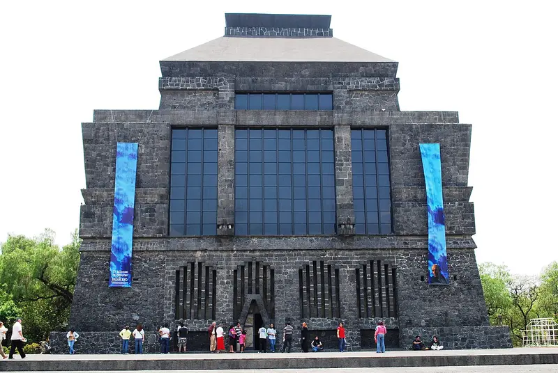
- Anahuacalli Museum: AlejandroLinaresGarcia · CC BY-SA 4.0 · Commons
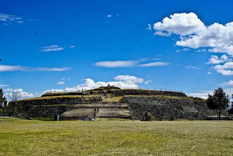
- Cuicuilco: Felipe huerta hdez · CC BY-SA 3.0 · Commons
- Six Flags México: Kintanarrey · CC BY-SA 3.0 · Commons
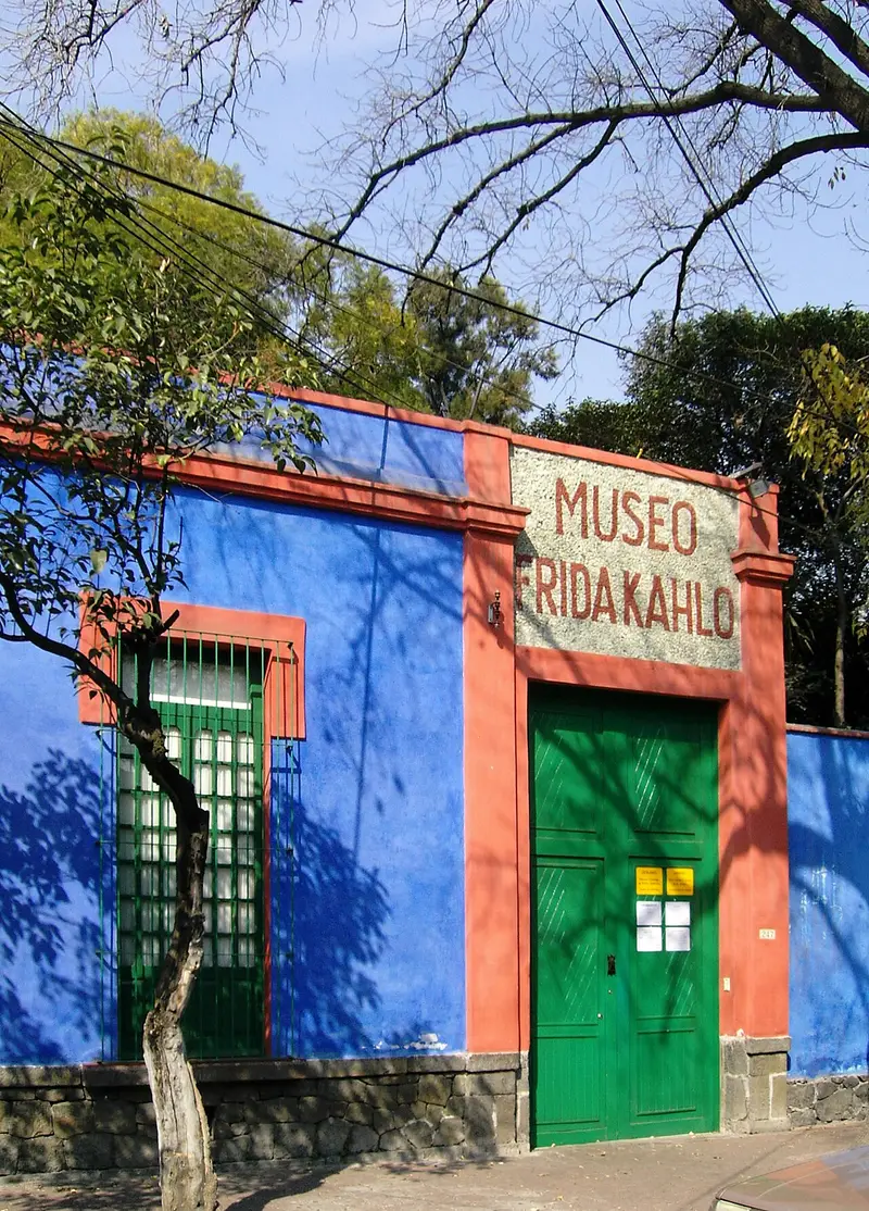
- Frida Kahlo Museum: No machine-readable author provided. Nachtwächter assumed (based on copyright claims). · CC BY-SA 3.0 · Commons
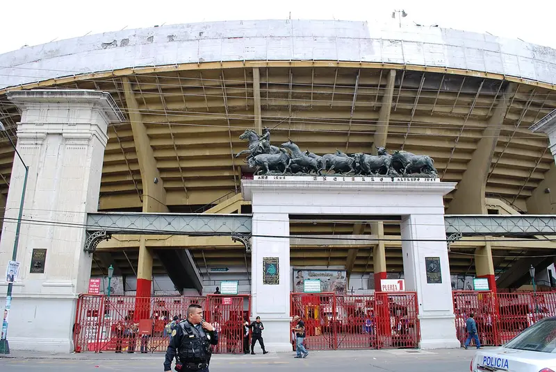
- Plaza México: AlejandroLinaresGarcia · CC BY-SA 4.0 · Commons
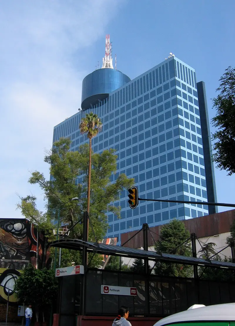
- World Trade Center Mexico City: Daniel Manrique (roadmr@entropia.com.mx) · CC BY-SA 3.0 · Commons


