
City
Kajang
Town in Selangor, Malaysia.
Near Kajang
Map





Weather by season
- Dec–Feb33° / 24°705 mm
- Mar–May34° / 25°797 mm
- Jun–Aug33° / 25°492 mm(a good time to go)
- Sep–Nov33° / 24°859 mm
Average high / low (°C) and rain per season. Data for Kuala Lumpur, 20 km away. Highlighted: the best months to go. Sepang/KL International Airport station, 1991–2020 climate normals · Meteostat. Raw data: NOAA, Deutscher Wetterdienst and others. (CC BY 4.0).
About Kajang
Kajang is a town in the Hulu Langat District, located at the southeast part of Selangor, Malaysia, and further southeast of Federal Territory of Kuala Lumpur. Kajang, along with much of the Hulu Langat District, is governed by the Kajang Municipal Council. Kajang town is located on the eastern banks of the Langat River.
From Wikipedia · CC BY-SA 4.0
Full Kajang travel guide
Getting around, food, where to stay
Photo credits (7)
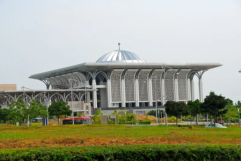
- Putrajaya Lake: Marku1988 based on photos of Gryffindor · CC BY 2.5 · Commons
- Putra Mosque: Azuladnan · CC BY-SA 4.0 · Commons
- Putra Square: unknown author · CC BY-SA 3.0 · Commons
- Bukit Jalil National Stadium: Pak Misai · CC BY-SA 4.0 · Commons
- Seri Wawasan Bridge: notsogoodphotography · CC BY 2.0 · Commons
- Tuanku Mizan Zainal Abidin Mosque: Trebz · CC BY 2.0 · Commons
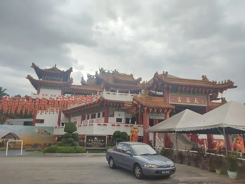
- Thean Hou Temple: *angys* · CC BY-SA 4.0 · Commons

.jpg)


.jpg)