
Langkawi
Archipelago in Malaysia.
Near Langkawi
Map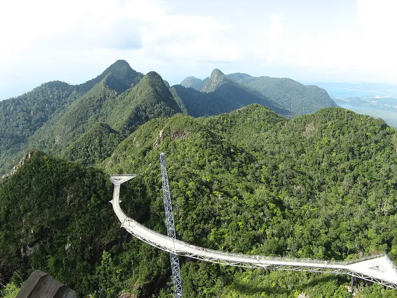

Weather by season
- Dec–Feb32° / 25°291 mm(a good time to go)
- Mar–May32° / 25°561 mm
- Jun–Aug32° / 25°606 mm
- Sep–Nov31° / 24°883 mm
Average high / low (°C) and rain per season. Data for George Town, 116 km away. Highlighted: the best months to go. Penang / Bayan Lepas station, 1991–2020 climate normals · Meteostat. Raw data: NOAA, Deutscher Wetterdienst and others. (CC BY 4.0).
About Langkawi
Langkawi, officially known as Langkawi, the Jewel of Kedah, is a duty-free island and an archipelago of 99 islands (plus five small islands visible only at low tide in the Strait of Malacca) located some 30 kilometres (19 mi) off the coast of northwestern Malaysia and a few kilometres south of Ko Tarutao, adjacent to the Thai border. Politically, it is an administrative district of Kedah, with Kuah as its largest town. Langkawi was developed as a tourist destination in the 1980s, and Pantai Cenang is the island's most popular beach and tourist area.
From Wikipedia · CC BY-SA 4.0
Full Langkawi travel guide
Getting around, food, where to stay
Photo credits (1)
- Langkawi Sky Bridge: Cheon Fong Liew from Kluang, Malaysia · CC BY-SA 2.0 · Commons
