
Region · 1.7 M people
Penang
Malaysian state.
Near Penang
Map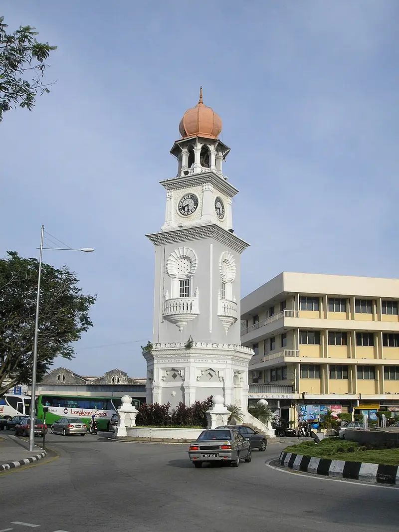

Weather by season
- Dec–Feb32° / 25°291 mm(a good time to go)
- Mar–May32° / 25°561 mm
- Jun–Aug32° / 25°606 mm
- Sep–Nov31° / 24°883 mm
Average high / low (°C) and rain per season. Data for George Town, 4 km away. Highlighted: the best months to go. Penang / Bayan Lepas station, 1991–2020 climate normals · Meteostat. Raw data: NOAA, Deutscher Wetterdienst and others. (CC BY 4.0).
About Penang
Penang is a Malaysian state located on the northwest coast of Peninsular Malaysia. It is divided into two parts by the Strait of Malacca: Penang Island to the west, where the capital city George Town is located, and Seberang Perai on the mainland Malay Peninsula to the east. These two halves are physically connected by the Penang Bridge and the Second Penang Bridge.
From Wikipedia · CC BY-SA 4.0
Full Penang travel guide
Getting around, food, where to stay
Photo credits (8)
- Jubilee Clock Tower: Gryffindor · CC BY 2.5 · Commons
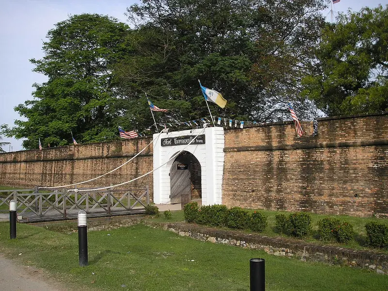
- Fort Cornwallis: Gryffindor · CC BY 2.5 · Commons
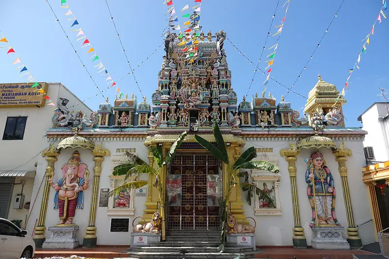
- Sri Mahamariamman Temple, Penang: Sin-siōng · CC BY-SA 4.0 · Commons
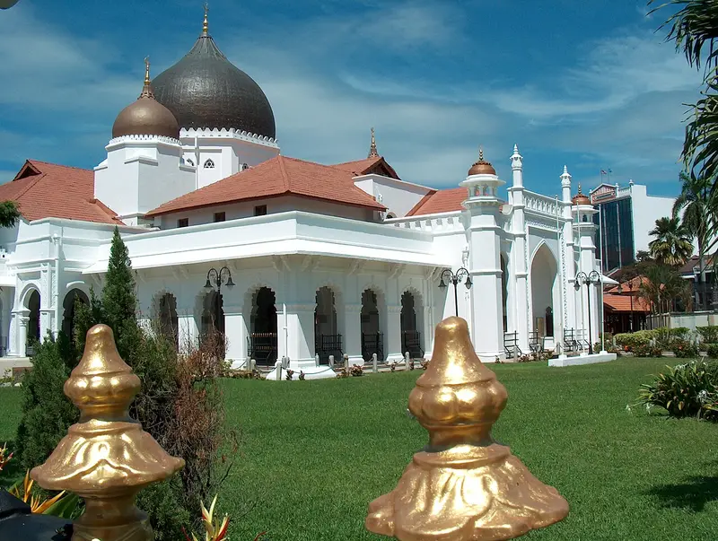
- Kapitan Keling Mosque: Mohammed Al-Naser · CC BY 2.0 · Commons
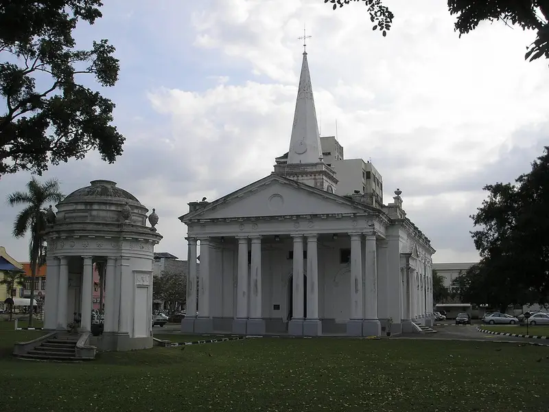
- St. George's Church: Gryffindor · Public domain · Commons
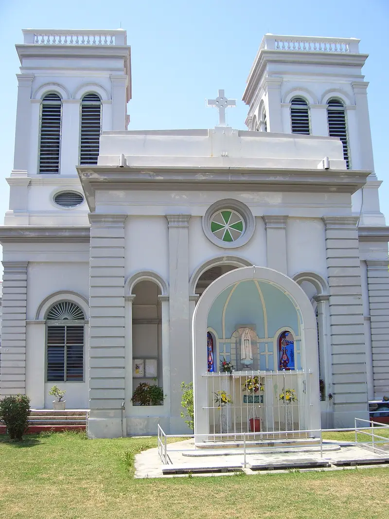
- Church of the Assumption: Will Ellis from Reading, England · CC BY 2.0 · Commons
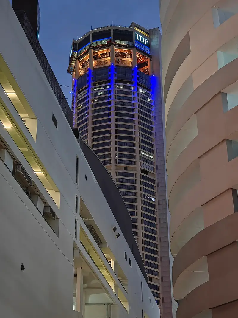
- KOMTAR: HundenvonPenang · CC BY-SA 4.0 · Commons
- City Stadium: Vnonymous · CC BY-SA 4.0 · Commons


