City
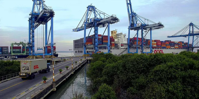
Port Klang
Human settlement in Malaysia.
Near Port Klang
Map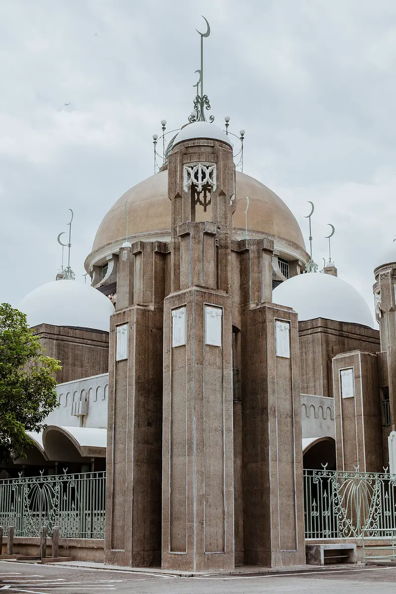




Weather by season
- Dec–Feb33° / 24°705 mm
- Mar–May34° / 25°797 mm
- Jun–Aug33° / 25°492 mm(a good time to go)
- Sep–Nov33° / 24°859 mm
Average high / low (°C) and rain per season. Data for Kuala Lumpur, 40 km away. Highlighted: the best months to go. Sepang/KL International Airport station, 1991–2020 climate normals · Meteostat. Raw data: NOAA, Deutscher Wetterdienst and others. (CC BY 4.0).
About Port Klang
Port Klang is the principal port of Malaysia on the Strait of Malacca. Known during colonial times as Port Swettenham (Malay: Pelabuhan Swettenham), it was renamed Port Klang in July 1972 and has since become the largest port in the country. It is located about 6 kilometres (3.7 mi) southwest of the town of Klang, and 38 kilometres (24 mi) southwest of Kuala Lumpur.
From Wikipedia · CC BY-SA 4.0
Full Port Klang travel guide
Getting around, food, where to stay
Photo credits (8)
- Sultan Sulaiman Mosque: Qaedi Shamsuddin · CC BY 2.0 · Commons
- Sultan Salahuddin Abdul Aziz Mosque: Ezry Abdul Rahman from Petaling Jaya, Selangor , Malaysia · CC BY 2.0 · Commons
- Bukit Jalil National Stadium: Pak Misai · CC BY-SA 4.0 · Commons
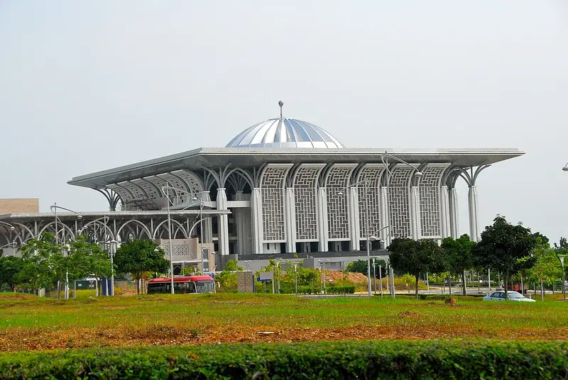
- Tuanku Mizan Zainal Abidin Mosque: Trebz · CC BY 2.0 · Commons
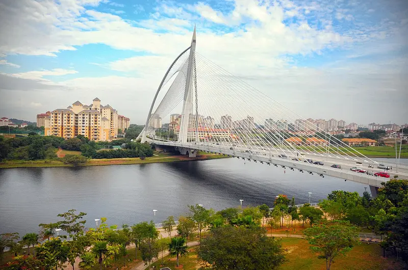
- Seri Wawasan Bridge: notsogoodphotography · CC BY 2.0 · Commons
- Putrajaya Lake: Marku1988 based on photos of Gryffindor · CC BY 2.5 · Commons
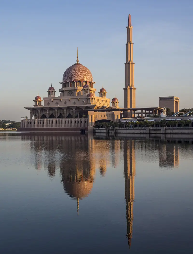
- Putra Mosque: Azuladnan · CC BY-SA 4.0 · Commons
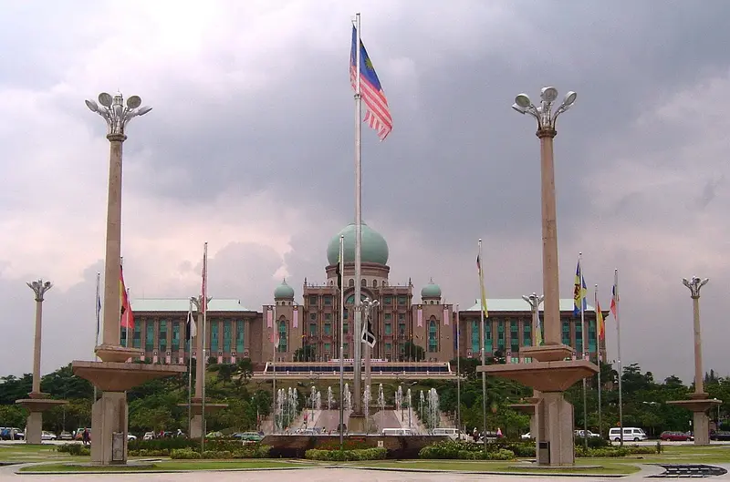
- Putra Square: unknown author · CC BY-SA 3.0 · Commons


.jpg)
