
Selangor
State of Malaysia.
Near Selangor
Map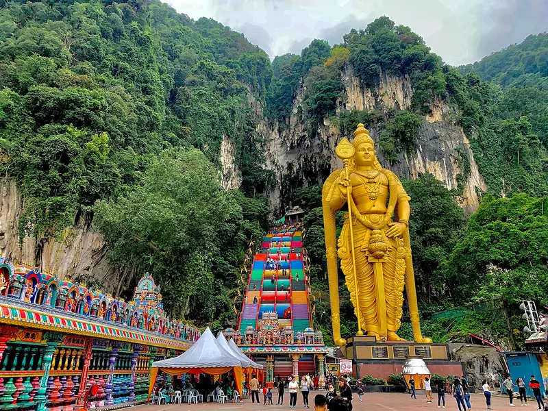

Weather by season
- Dec–Feb33° / 24°705 mm
- Mar–May34° / 25°797 mm
- Jun–Aug33° / 25°492 mm(a good time to go)
- Sep–Nov33° / 24°859 mm
Average high / low (°C) and rain per season. Data for Kuala Lumpur, 30 km away. Highlighted: the best months to go. Sepang/KL International Airport station, 1991–2020 climate normals · Meteostat. Raw data: NOAA, Deutscher Wetterdienst and others. (CC BY 4.0).
About Selangor
Selangor, also known by the Arabic honorific Darul Ehsan (lit. 'Abode of Sincerity'), is a state of Malaysia. It is on the west coast of Peninsular Malaysia and is bordered by Perak to the north, Pahang to the east, Negeri Sembilan to the south, and the Strait of Malacca to the west. Selangor surrounds the federal territories of Kuala Lumpur and Putrajaya, both of which were previously part of it.
From Wikipedia · CC BY-SA 4.0
Full Selangor travel guide
Getting around, food, where to stay
Photo credits (8)
- Batu Caves: Chainwit. · CC BY-SA 4.0 · Commons
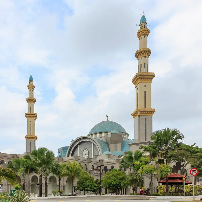
- Federal Territory Mosque: CEphoto, Uwe Aranas · CC BY-SA 3.0 · Commons
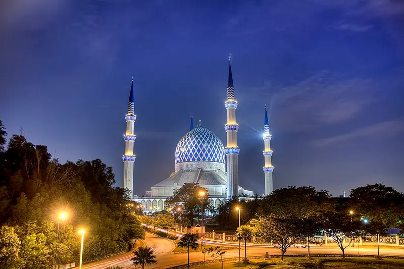
- Sultan Salahuddin Abdul Aziz Mosque: Ezry Abdul Rahman from Petaling Jaya, Selangor , Malaysia · CC BY 2.0 · Commons
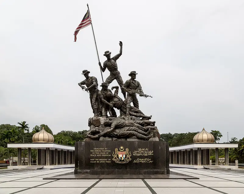
- National Monument: CEphoto, Uwe Aranas · CC BY-SA 3.0 · Commons
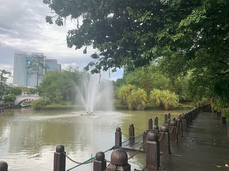
- Perdana Botanical Gardens: Renek78 · CC BY-SA 4.0 · Commons
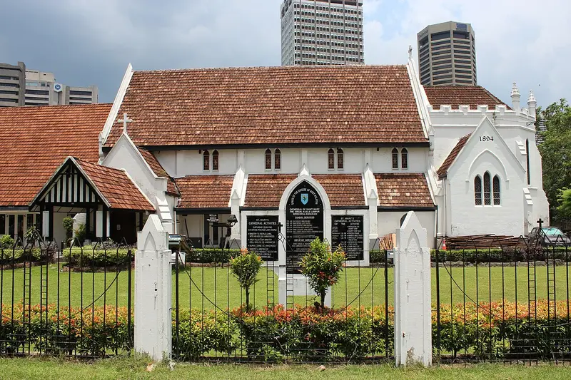
- St. Mary's Cathedral: Flaming Ferrari · CC BY-SA 3.0 · Commons
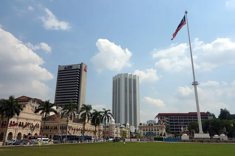
- Independence Square: Haakon S. Krohn · CC BY-SA 3.0 · Commons
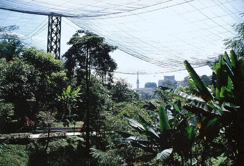
- Kuala Lumpur Bird Park: Ural Anonymous · Public domain · Commons


