
Sepang District
District of Malaysia.
Near Sepang District
Map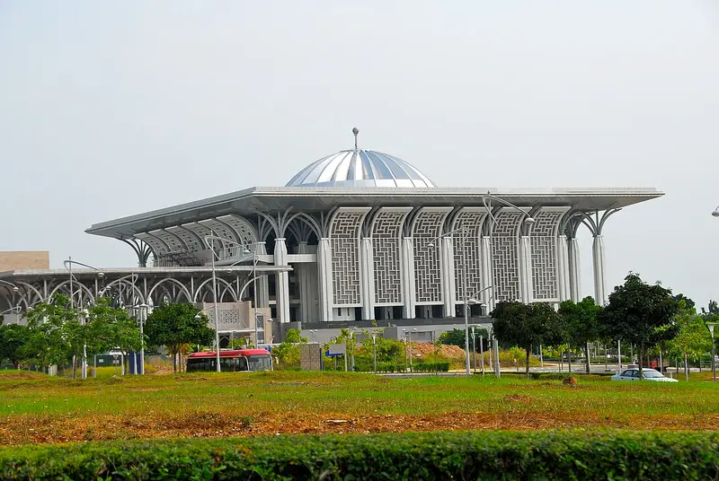



Weather by season
- Dec–Feb33° / 24°705 mm
- Mar–May34° / 25°797 mm
- Jun–Aug33° / 25°492 mm(a good time to go)
- Sep–Nov33° / 24°859 mm
Average high / low (°C) and rain per season. Data for Kuala Lumpur, 37 km away. Highlighted: the best months to go. Sepang/KL International Airport station, 1991–2020 climate normals · Meteostat. Raw data: NOAA, Deutscher Wetterdienst and others. (CC BY 4.0).
About Sepang District
The Sepang District is an administrative district located in the southern southernmost part of the state of Selangor in Malaysia. The district covers a gazetted local plan planning area of 619.00 km2 (239.00 sq mi) (61,900.00 hectares) and had an estimated population of 338,600 in 2023. The administrative capital of Sepang is the planned town of Salak Tinggi, which succeeded the historic border settlement of Sepang town.
From Wikipedia · CC BY-SA 4.0
Full Sepang District travel guide
Getting around, food, where to stay
Photo credits (7)
- Tuanku Mizan Zainal Abidin Mosque: Trebz · CC BY 2.0 · Commons
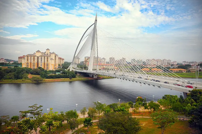
- Seri Wawasan Bridge: notsogoodphotography · CC BY 2.0 · Commons
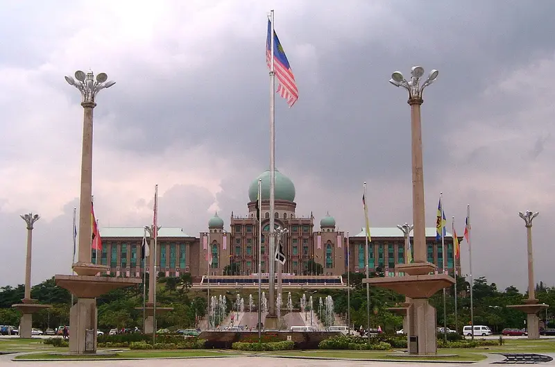
- Putra Square: unknown author · CC BY-SA 3.0 · Commons
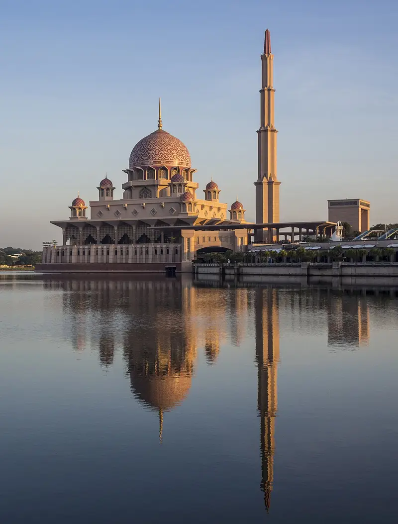
- Putra Mosque: Azuladnan · CC BY-SA 4.0 · Commons
- Putrajaya Lake: Marku1988 based on photos of Gryffindor · CC BY 2.5 · Commons
- Bukit Jalil National Stadium: Pak Misai · CC BY-SA 4.0 · Commons
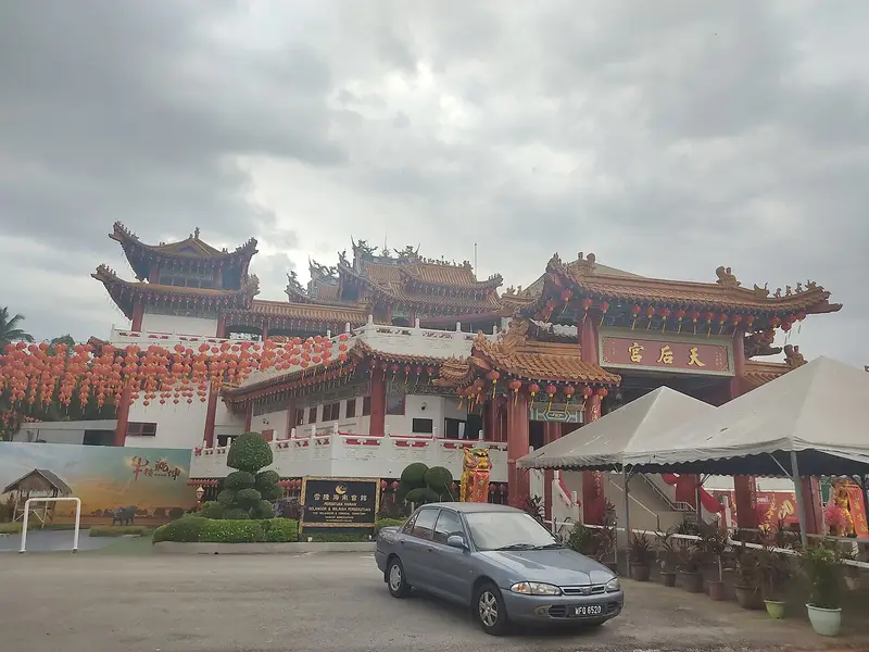
- Thean Hou Temple: *angys* · CC BY-SA 4.0 · Commons


.jpg)


.jpg)