
Gauteng
Province in South Africa.
Near Gauteng
Map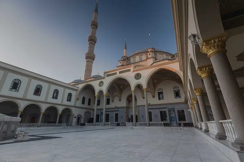






Weather by season
- Dec–Feb25° / 15°377 mm
- Mar–May22° / 10°159 mm(a good time to go)
- Jun–Aug18° / 5°14 mm(a good time to go)
- Sep–Nov25° / 11°189 mm(a good time to go)
Average high / low (°C) and rain per season. Data for Johannesburg, 23 km away. Highlighted: the best months to go. Johannesburg Airport station, 1991–2020 climate normals · Meteostat. Raw data: NOAA, Deutscher Wetterdienst and others. (CC BY 4.0).
About Gauteng
Gauteng is one of the nine provinces of South Africa. Situated on the Highveld, Gauteng is the smallest province by land area in South Africa. Although Gauteng accounts for only 1.5% of the country's land area, it is the most populous province in South Africa, with more than a quarter (26%) of the national population; the provincial population was approximately 16.1 million, according to mid-year 2022 estimates.
From Wikipedia · CC BY-SA 4.0
Full Gauteng travel guide
Getting around, food, where to stay
Photo credits (8)
- Nizamiye Masjid: HorizonZA · CC BY-SA 4.0 · Commons
- Nelson Mandela Square: Britfan97 · CC BY-SA 3.0 · Commons
- Walter Sisulu National Botanical Garden: JMK · CC BY-SA 3.0 · Commons
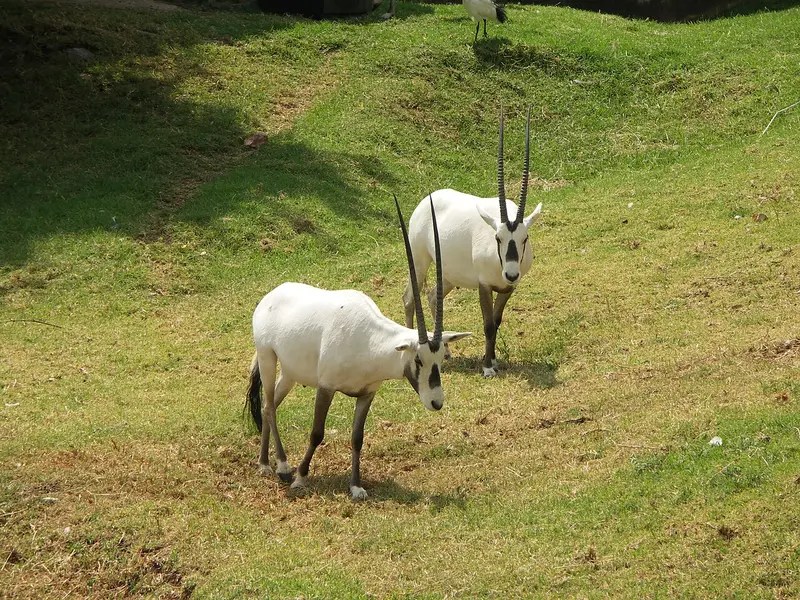
- Johannesburg Zoo: NJR ZA · CC BY-SA 3.0 · Commons
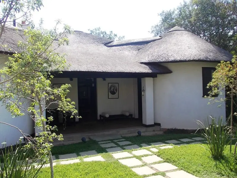
- Satyagraha House: James Ball · CC BY-SA 3.0 · Commons
- Ponte City: Geoffrey Hancock · CC BY-SA 2.0 · Commons
- Nelson Mandela Bridge: NJR ZA · Public domain · Commons
- Johannesburg Art Gallery: Janek Szymanowski · CC BY-SA 3.0 · Commons


.jpg)

