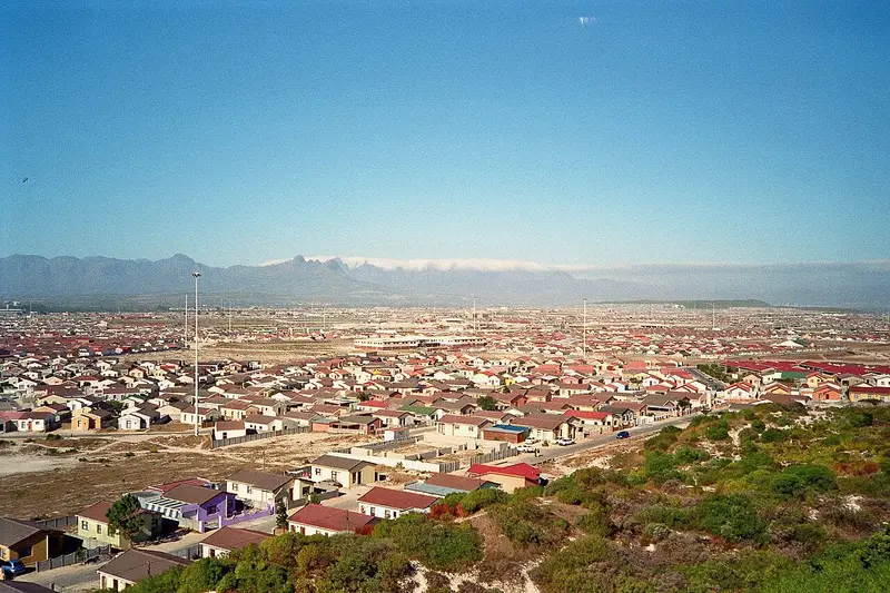
City
Khayelitsha
Township in the Western Cape, South Africa.
Near Khayelitsha
Map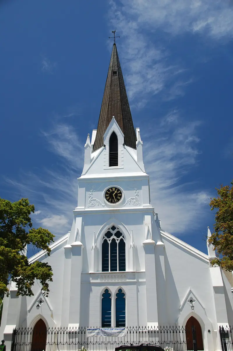



Weather by season
- Dec–Feb27° / 16°33 mm(a good time to go)
- Mar–May24° / 12°120 mm(a good time to go)
- Jun–Aug18° / 8°262 mm(a good time to go)
- Sep–Nov22° / 11°105 mm(a good time to go)
Average high / low (°C) and rain per season. Data for Cape Town, 27 km away. Highlighted: the best months to go. Cape Town Airport station, 1991–2020 climate normals · Meteostat. Raw data: NOAA, Deutscher Wetterdienst and others. (CC BY 4.0).
About Khayelitsha
Khayelitsha () is a township in Western Cape, South Africa, on the Cape Flats in the City of Cape Town Metropolitan Municipality. The name is Xhosa for New Home. It is reputed to be one of the largest and fastest-growing townships in South Africa.
From Wikipedia · CC BY-SA 4.0
Full Khayelitsha travel guide
Getting around, food, where to stay
Photo credits (8)
- Moederkerk, Stellenbosch: Fmalan at Afrikaans Wikipedia · Public domain · Commons
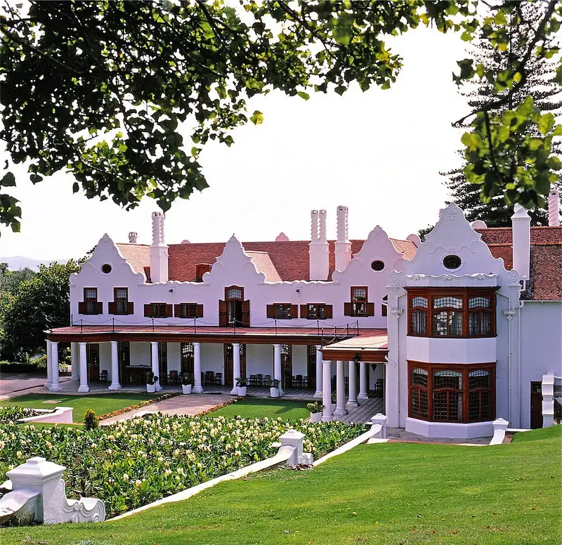
- Groote Schuur: Janek Szymanowski · CC BY-SA 3.0 · Commons
- Rhodes Memorial: Glassbottle at English Wikipedia · Public domain · Commons
- Kirstenbosch National Botanical Garden: Andrawaag · CC BY-SA 4.0 · Commons
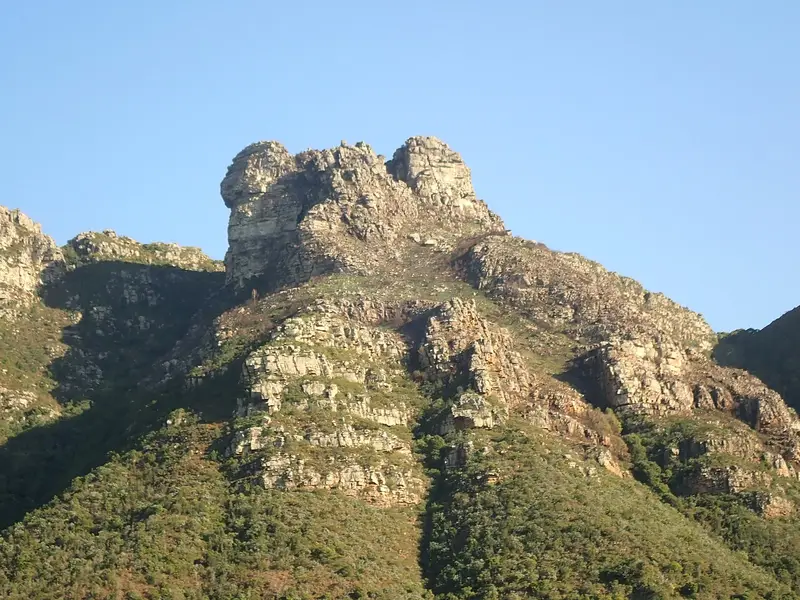
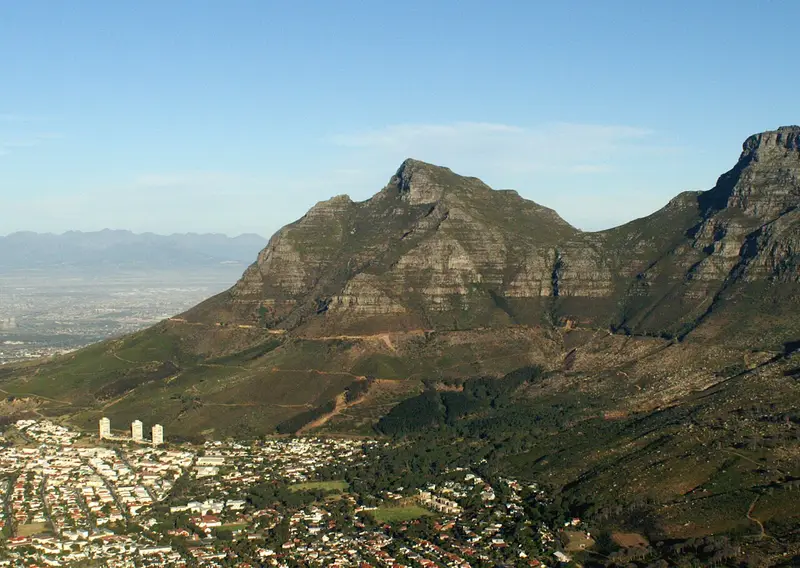
- Devil's Peak: Warrickball · CC BY-SA 3.0 · Commons
- Table Mountain National Park: Hilton Teper · CC BY-SA 3.0 · Commons
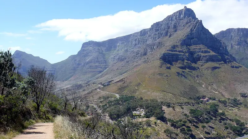
- Table Mountain: Matthiasmullie · CC BY-SA 4.0 · Commons
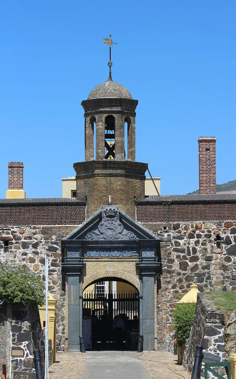
- Castle of Good Hope: Martinvl · CC BY-SA 4.0 · Commons


.jpg)