
Robben Island
Island in Table Bay, South Africa.
Near Robben Island
Map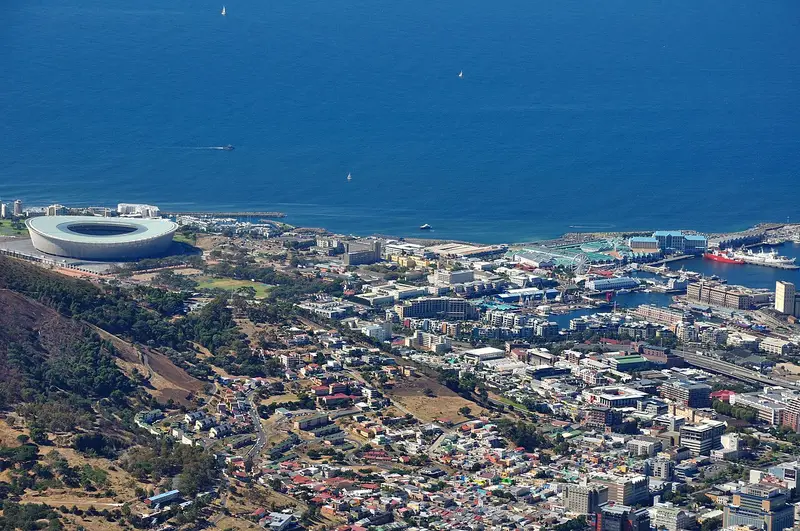

Weather by season
- Dec–Feb27° / 16°33 mm(a good time to go)
- Mar–May24° / 12°120 mm(a good time to go)
- Jun–Aug18° / 8°262 mm(a good time to go)
- Sep–Nov22° / 11°105 mm(a good time to go)
Average high / low (°C) and rain per season. Data for Cape Town, 14 km away. Highlighted: the best months to go. Cape Town Airport station, 1991–2020 climate normals · Meteostat. Raw data: NOAA, Deutscher Wetterdienst and others. (CC BY 4.0).
About Robben Island
Robben Island is an island in Table Bay, 6.9 kilometers (4.3 mi) west of the coast of Bloubergstrand, north of Cape Town, South Africa. It takes its name from the archaic Dutch word for seals (robben), hence the Dutch/Afrikaans name Robbeneiland, which translates to Seal(s) Island. Robben Island is roughly oval in shape, 3.3 kilometres (2 miles) long north–south, and 1.9 km (1+1⁄8 mi) wide, with an area of 5.08 km2 (1+31⁄32 sq mi).
From Wikipedia · CC BY-SA 4.0
Full Robben Island travel guide
Getting around, food, where to stay
Photo credits (8)
- Cape Town Stadium: Hansueli Krapf This file was uploaded with Commonist . · CC BY-SA 3.0 · Commons
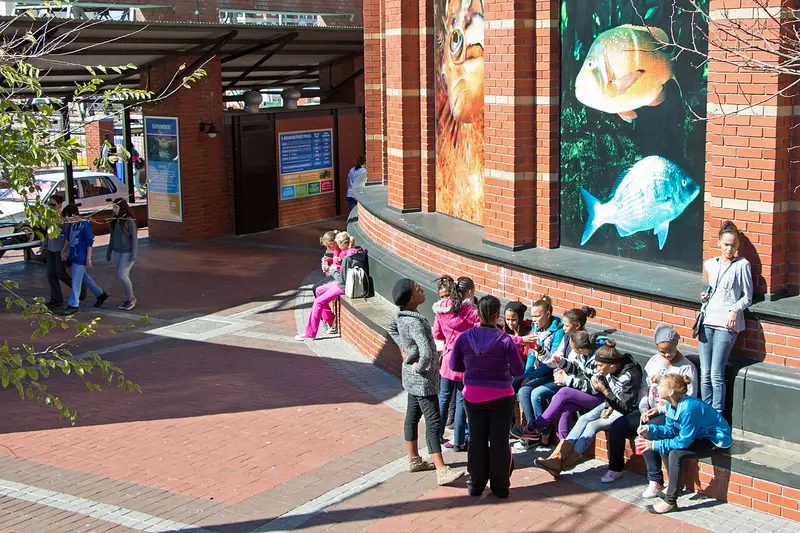
- Two Oceans Aquarium: HelenOnline · CC BY-SA 3.0 · Commons
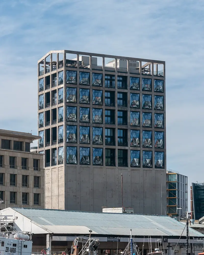
- Zeitz Museum of Contemporary Art Africa: Matti Blume · CC BY-SA 4.0 · Commons
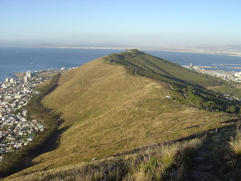
- Signal Hill: en:User:Zaian · Public domain · Commons
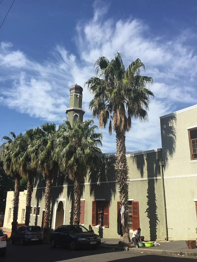
- Auwal Mosque: LiebeB · CC BY-SA 4.0 · Commons
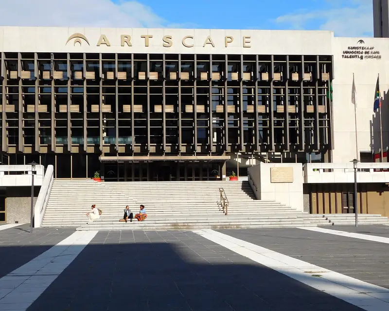
- Artscape Theatre Centre: Adamina · CC BY 2.0 · Commons
- Palm Tree Mosque: Discott · CC BY-SA 3.0 · Commons
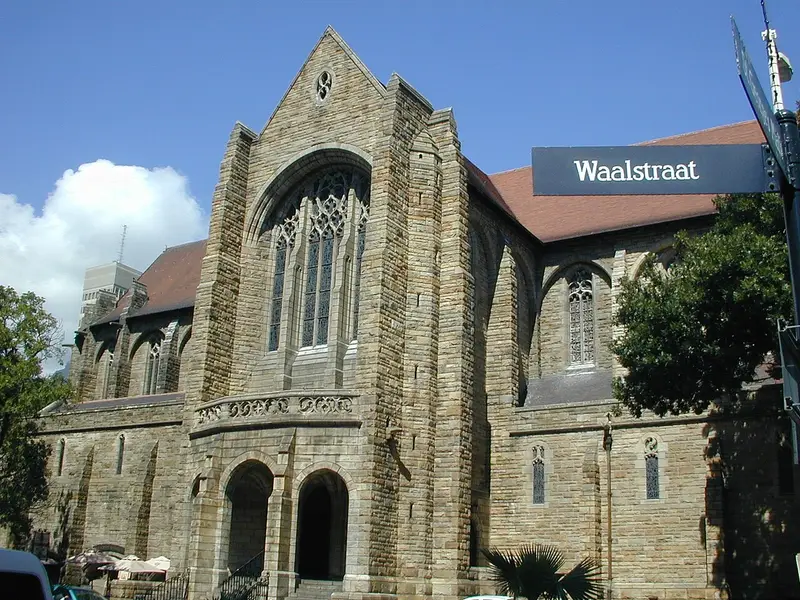
- St. George's Cathedral: Mike Hayes · Public domain · Commons


.jpg)


.jpg)

